
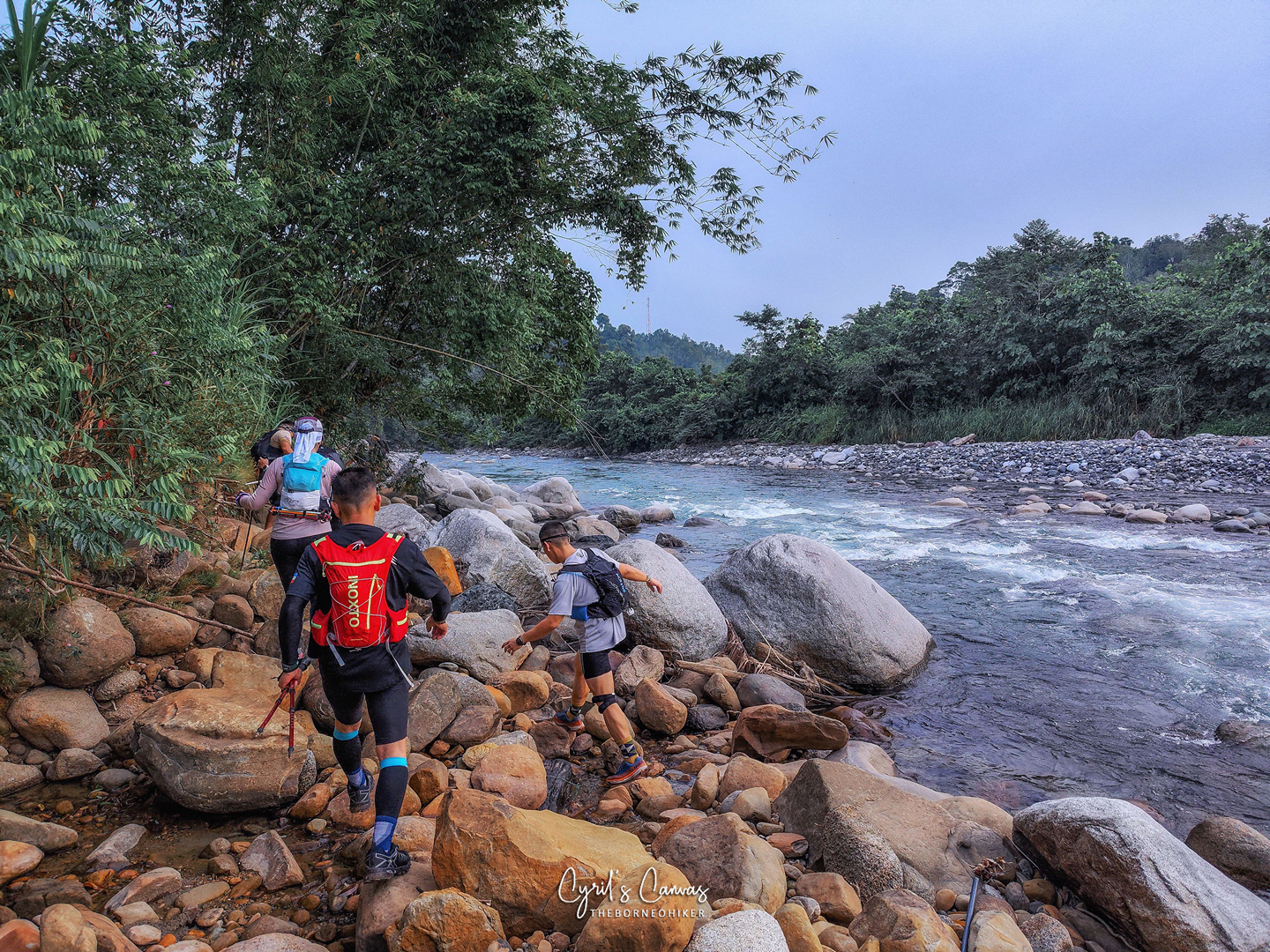
Trail runners braving the white rapids of a river with one hand holding on to their hiking poles and another grabbing on to the rope that would assist them across the river. This was my first awareness and first impressions of KAR. But at that time, I did not know what KAR meant, I thought it was just a name. It was only much later that I learnt that KAR stood for Kadamaian Adventure Race.
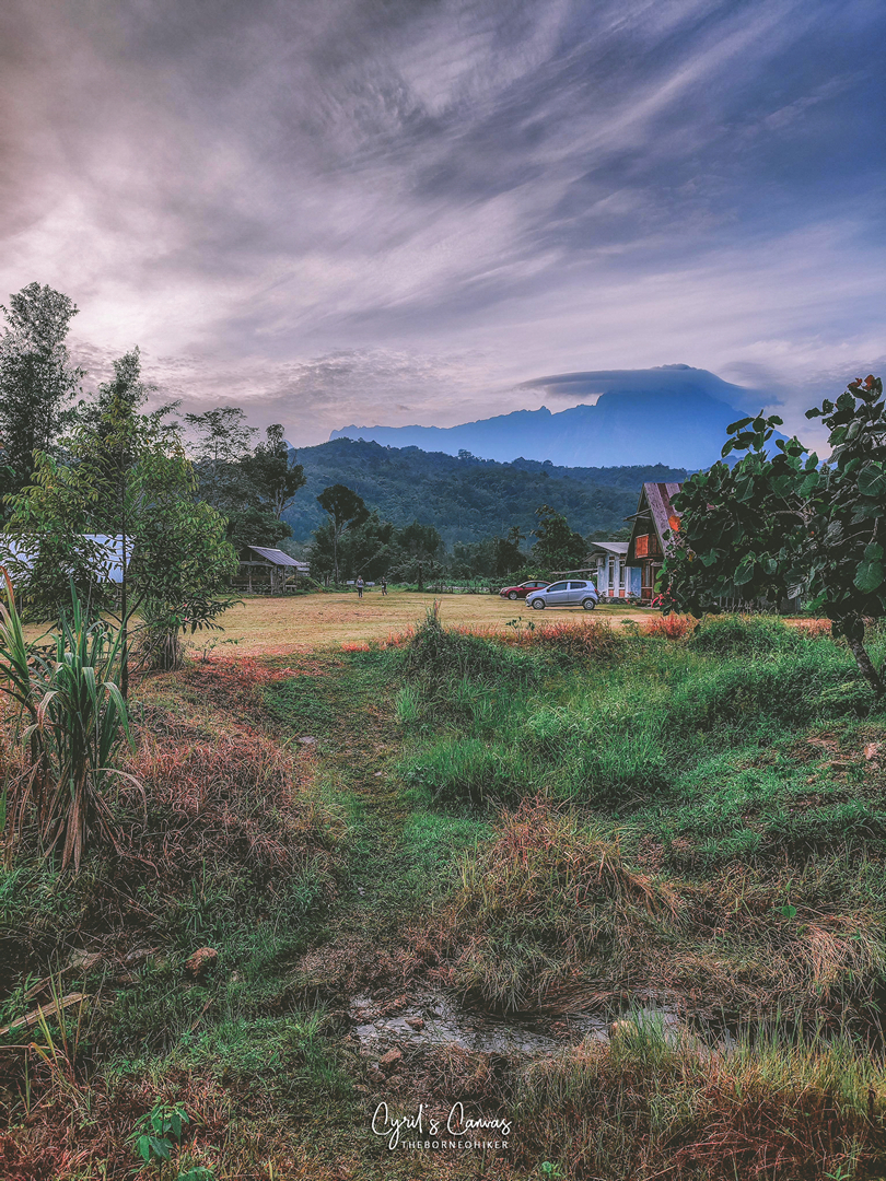
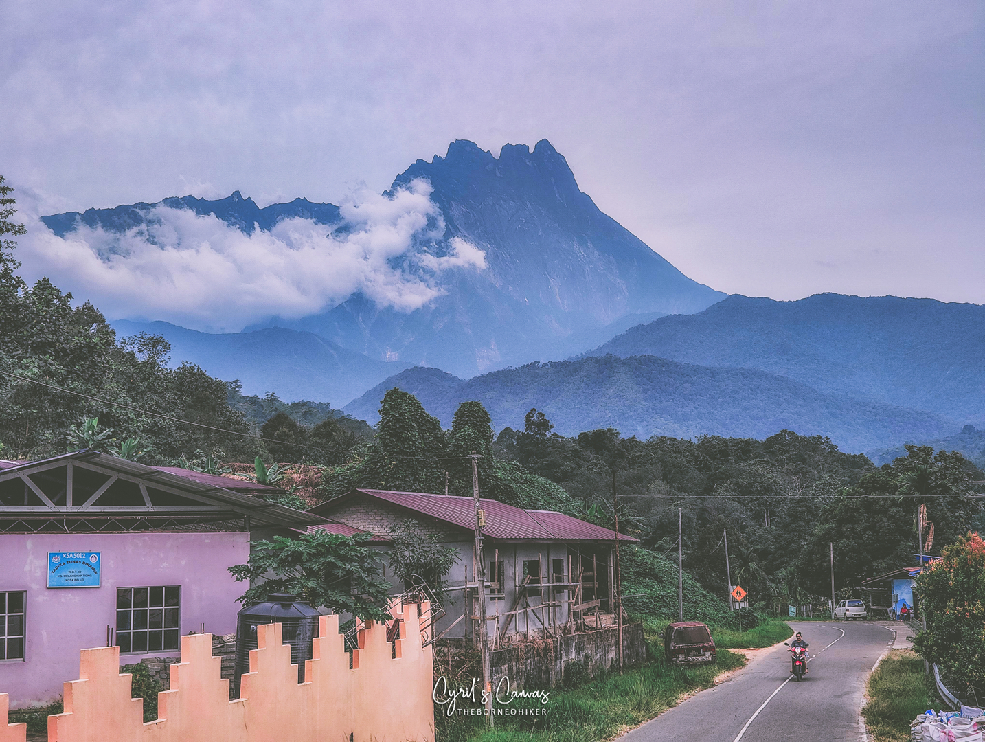
A quick google look up taught me that Kadamaian is an area in Sabah which is located just west of the Mount Kinabalu mountain range and from that I concluded that the view while running around in the Kadamaian area must be beautiful! It helps that they added the name “Adventure Race”. I mean, which other races in Malaysia do you see with that catchy phrase attached to its name?
I joined the KAR 55KM category last year and this was only my second trail run in Sabah (my first in Sabah being TMBT 50K back in 2019). I was definitely excited but nervous at the same time, as I had no idea what kind of terrain and challenges lies ahead of me.


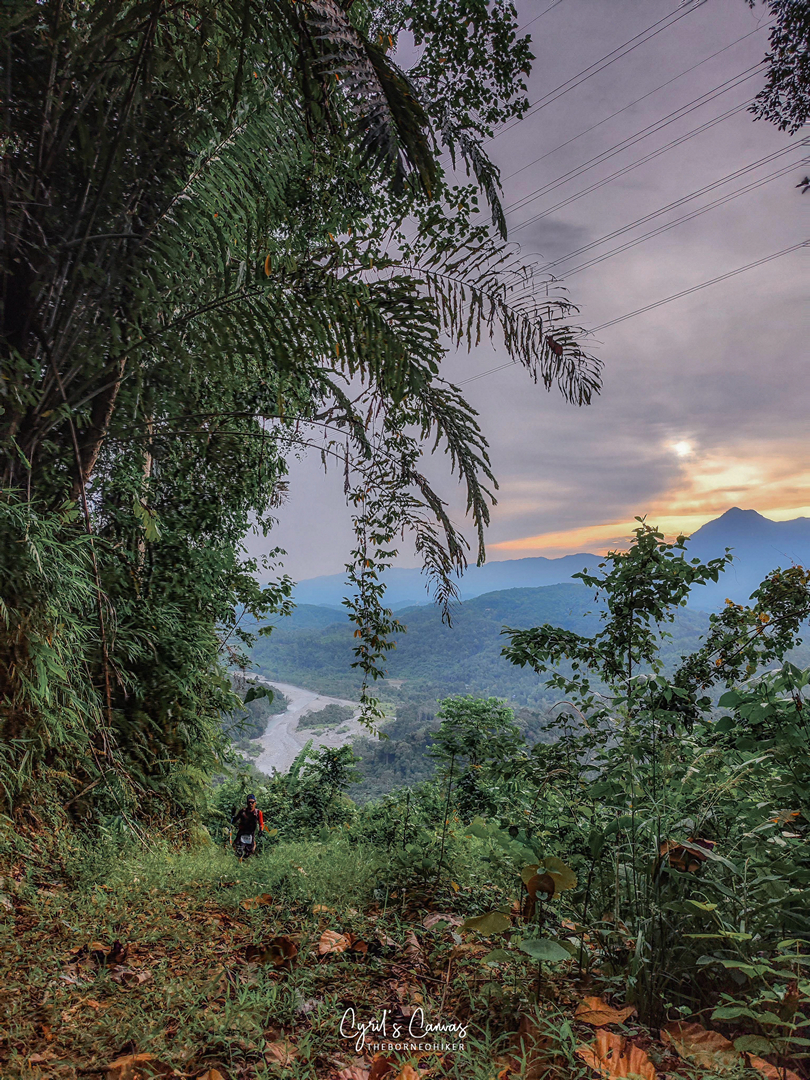
The fresh morning air and the sights of villages that I ran pass as the sun was rising from behind the mountains.


From there, not long further down the road after reaching the 6km mark, we began to turn into the trail.
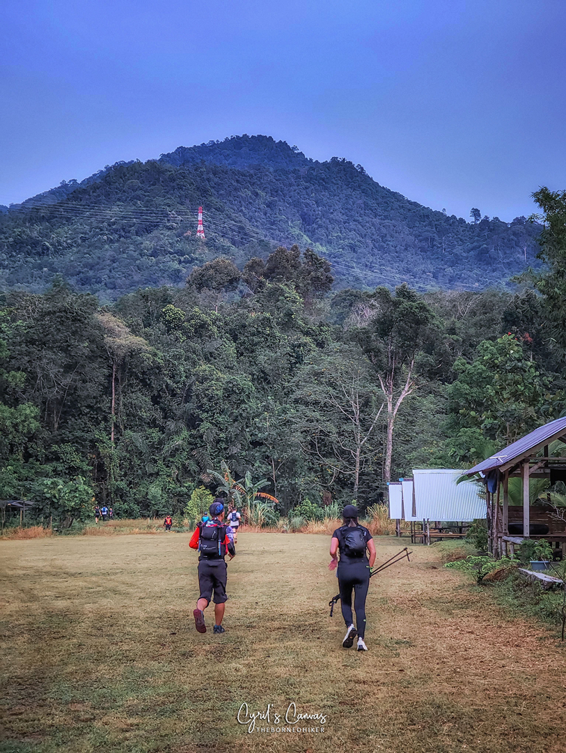

By the KM8 mark, WS2 was in sight (there is no WS1 in the 55km route). The beautiful sight of Akinabalu (Mount Kinabalu) was still clearly visible from here. Time for a rest! However, I knew that I shouldn’t spend too much time here as there was still a long way to go, and coming up right after this would be the infamously tough Bogung Hill and I should try to get ahead of the large crowd of runners that were still munching on all the irresistible food there.

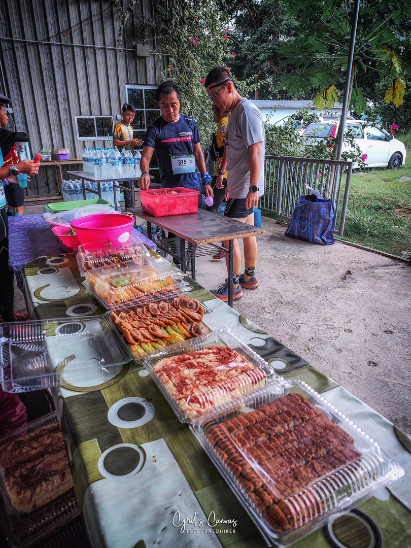
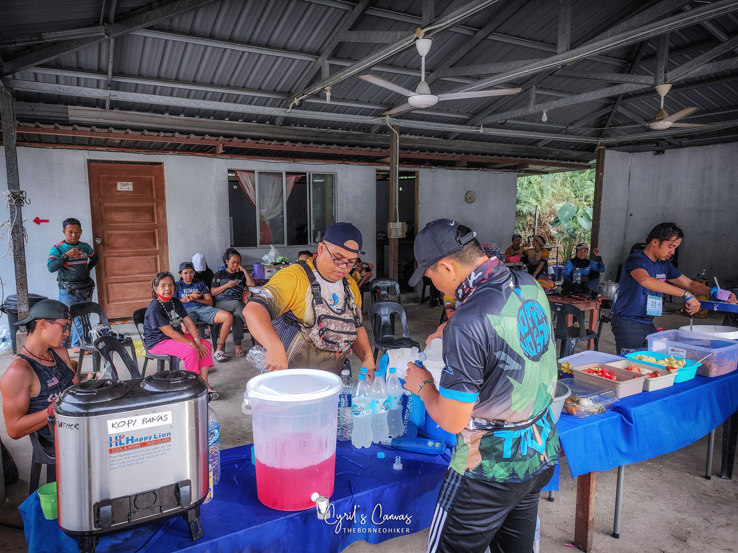
Just look at all those foods! The organizers must be crazy! Which trail race do you know that provides such an abundance choice of food at the first water station?!? I must admit, the temptation to just stay and feast on all those cakes and cucur2 was very strong!
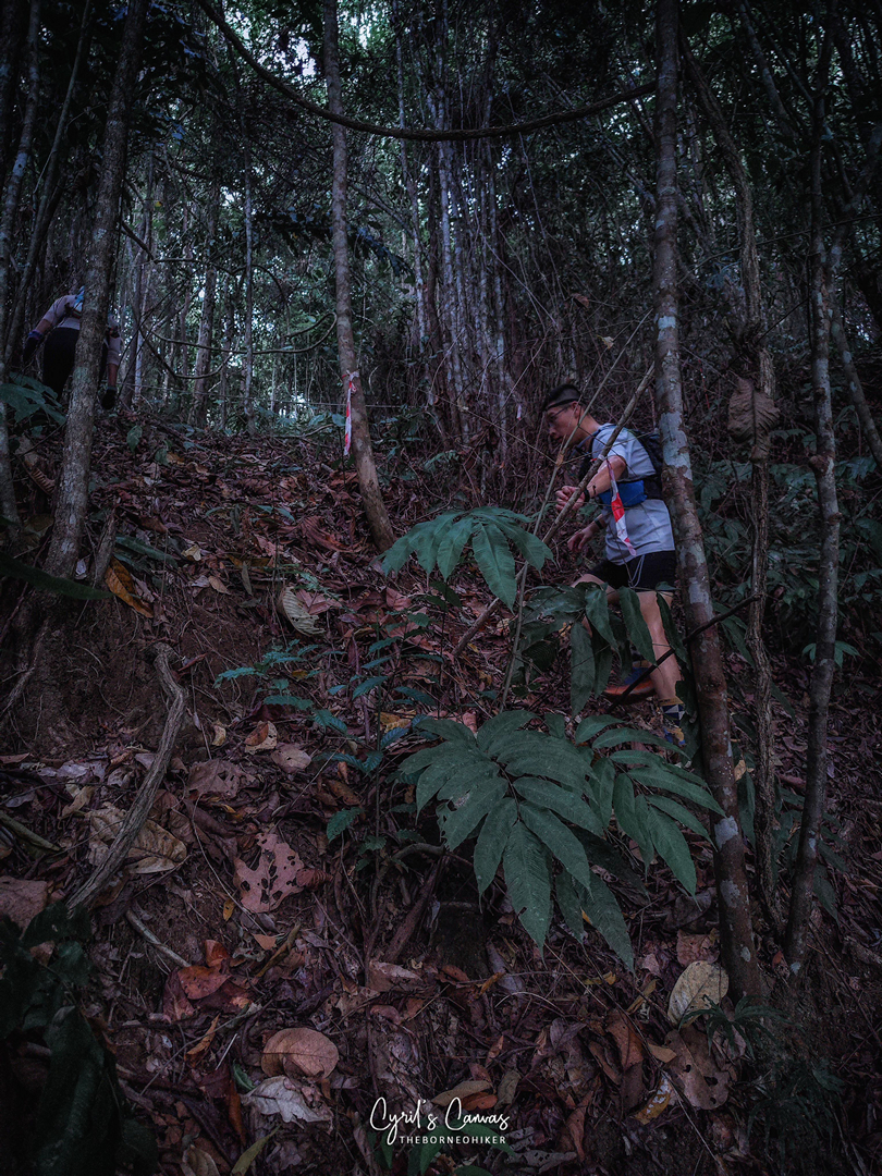
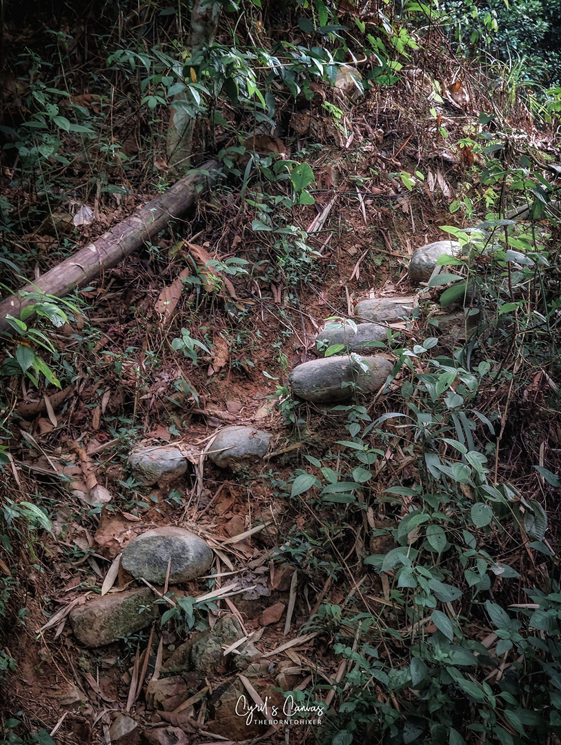
Onwards to Bukit Bugong! Bukit Bugong is infamous for its technical climb especially nearer to the peak which will require all four to be crawling up!


The trail started off gradually, where it was a moderately steep ascent on easy red soil which leads to a transmission tower. A quick breather here and this is where the difficult climb starts. A lot of times, the trail was very steep. Hiking poles didn’t really help as the ground was covered with many roots and branches which caused the poles to get stuck most of the time. I switched to grabbing on to whatever vegetation that was around to pull myself up which I found to be more efficient.

After an elevation gain of 800++ meters, and out of breath, I was finally at the peak!


After a few quick pictures on the peak, it was time to head down the hill from the other side. For me, this was even harder than the going up. The descent was extremely steep at points, and the distance between the next step down is quite high, and my bad knee (from previous injury) makes it painful every time I need to bend my knees for more than 90 degrees. There were even some sections where I had to abseil with the rope. Needless to say, the descent was slower for me.


From here onwards, the trail was a mixture of easy to medium difficulty. I’m not sure why it is stated as “Medium” in the KAR Handbook that was given out to the participants, but I found it quite smooth. Maybe it was because of the much pain endured by my knees going down Bukit Bogung, so my body found this part to be leisurely.


After around 2 hours, running at a comfortable pace, I finally reached WS4 which is around the KM21 mark. WS4 is where the 110KM runners will split from us 55KM runners. They will be continuing running north all the way to Kota Belud town and then make their way back (which is the extra 55km of the 110KM route) to join back to the 55KM route which is where my next WS is.


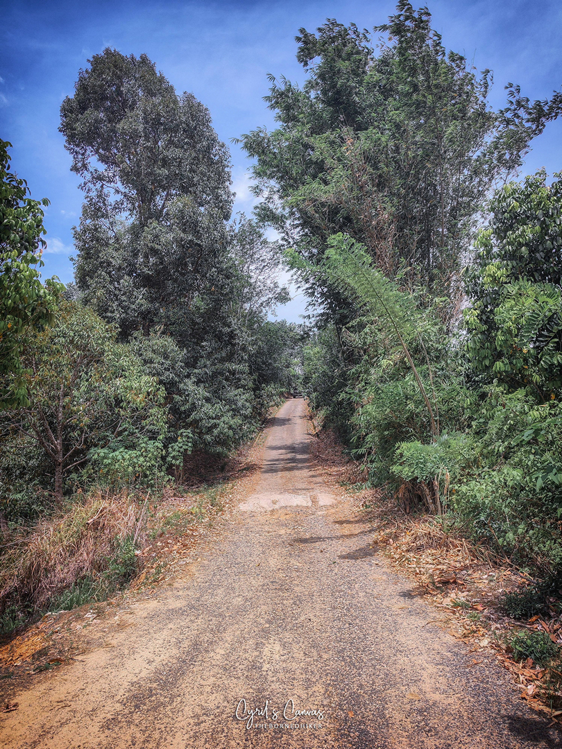
Yummy in my tummy. After having a ‘feast’ at WS4, it was time to move on. Legs was so lazy after all that eating. Nevertheless, the show must go on! From here to the next WS would be an easy run as it is using Jalan Podos all the way running to Kampung Podos WS8 (there is no WS5, WS6, WS7 for the 55KM route).
The stretch from WS4 to WS8 is one of the hottest sections along the whole trail. The route was wide opened the whole way and was mainly gravel road as it was the main link to Kampung Podos.

The route to WS8 Kampung Podos felt like forever even though it was the easiest stretch of the whole route. Finally, after fighting the mental torture of being directly under the scorching mid-noon sun, I arrived at WS8 at the KM26 mark.


(Left): Bananas are plenty, but I always prefer boiled eggs! Boiled eggs are slower to digest so I won’t feel hungry so fast. (Center): Trail run cookies! Special home-made recipe by Phoebe home-baked with love! (Right): The make-shift shower in WS8 is heavenly! Really appreciative of the organizer for providing such an unnecessary-necessary facility.
After the much needed ‘shower’ in WS8 and feeling all refreshed, I continued on my way to WS9. The shower at WS8 was really very thoughtful as the way to WS9 is also fully exposed all the way.

(Left): I’m intrigued to see this house keeping so much firewood in stock and it is arranged according to the sizes! (Right) The fully exposed gravel road all the way to WS9 that had constant gradual elevation gain.
WS9 was an interesting WS as it is placed at Norutipan Point Eco Tourism Resort. I took some time to peek into the resort and found that they have a very nice lake where it would definitely be a nice place to chill and take a dip in the water. I made a mental note to come back here one day to enjoy the facilities!


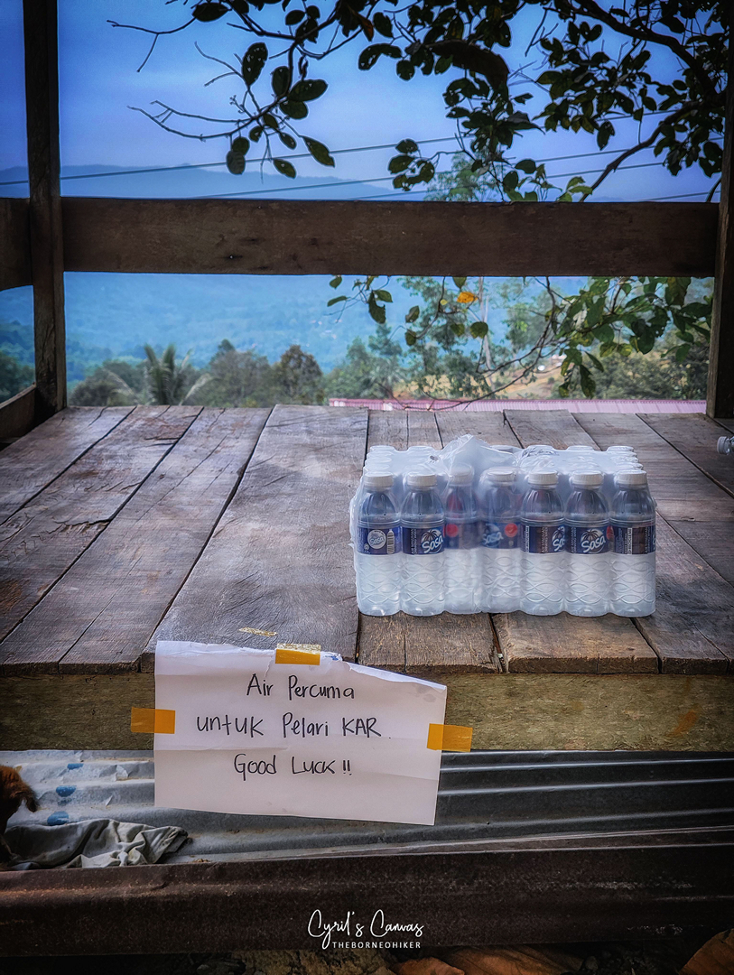
After WS9, this is where it is the toughest. The distance between WS9 to WS10 is almost 12KM apart. This is the longest distance between two water stations in the whole route. As I was about to start my steps, I took a deep breath and refocus my mental. I CAN DO THIS!
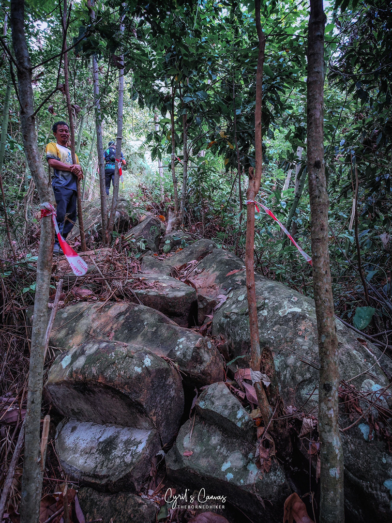
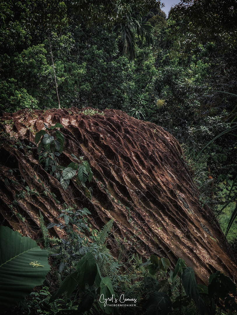
Not long after departing WS9, I came across these interesting rocks (pictured below). The texture of these rocks was unique, and there was one that was gigantic in size! Larger than a 2-storey house. I made a mental note to get an opinion from my geologist friend.


Shortly after that, the trail exited into a main road which eventually led me into Kampung Gansurai. At that moment, there were a bunch of kids playing along the road. They were so friendly that they even shouted, “Jia you, Uncle!” in not-so-accurate-pronunciation Mandarin (they were the local bumiputras). Although it did hit a nerve when they called me ‘Uncle’, but the friendliness of the kampung kids really impressed me!


Very impressive decorations and artwork along the kampung road.


After that point, the route joins back into a jungle trial. WS10 is coming up after this trail section!


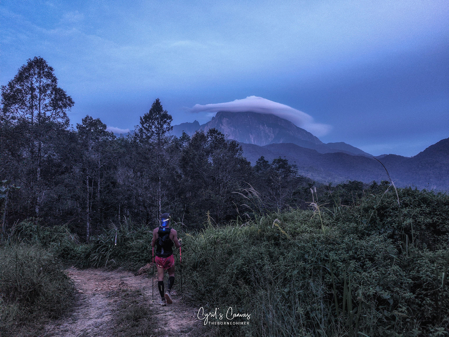
Finally, at KM41, I reached WS10! I was really happy to see WS10, as I know that this will be my last major break (my plan is to not stop at all at WS11 since the distance between WS10 and WS11 is very short). WS10 is a main water station as there is a mandatory gear inspection here.
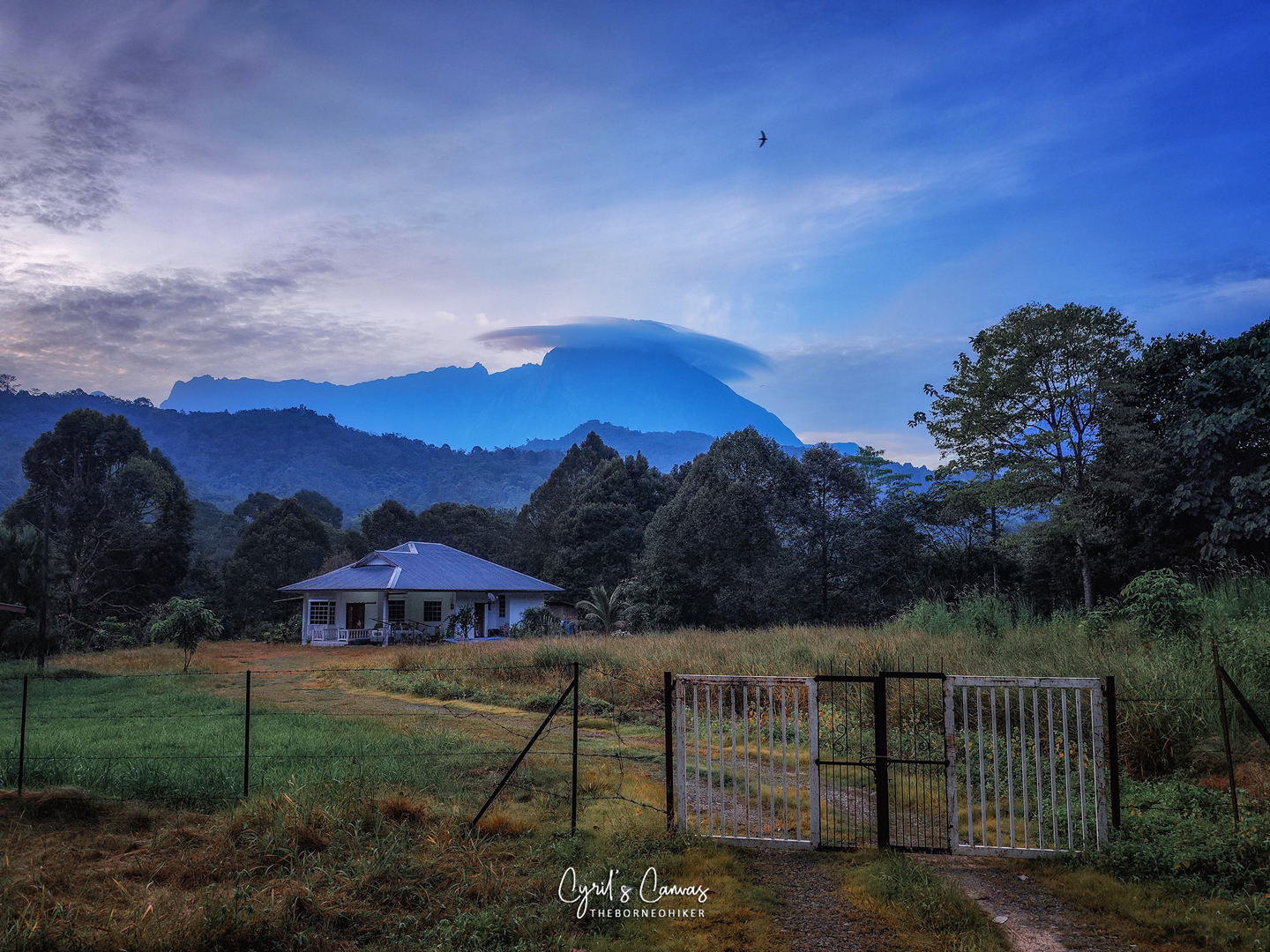
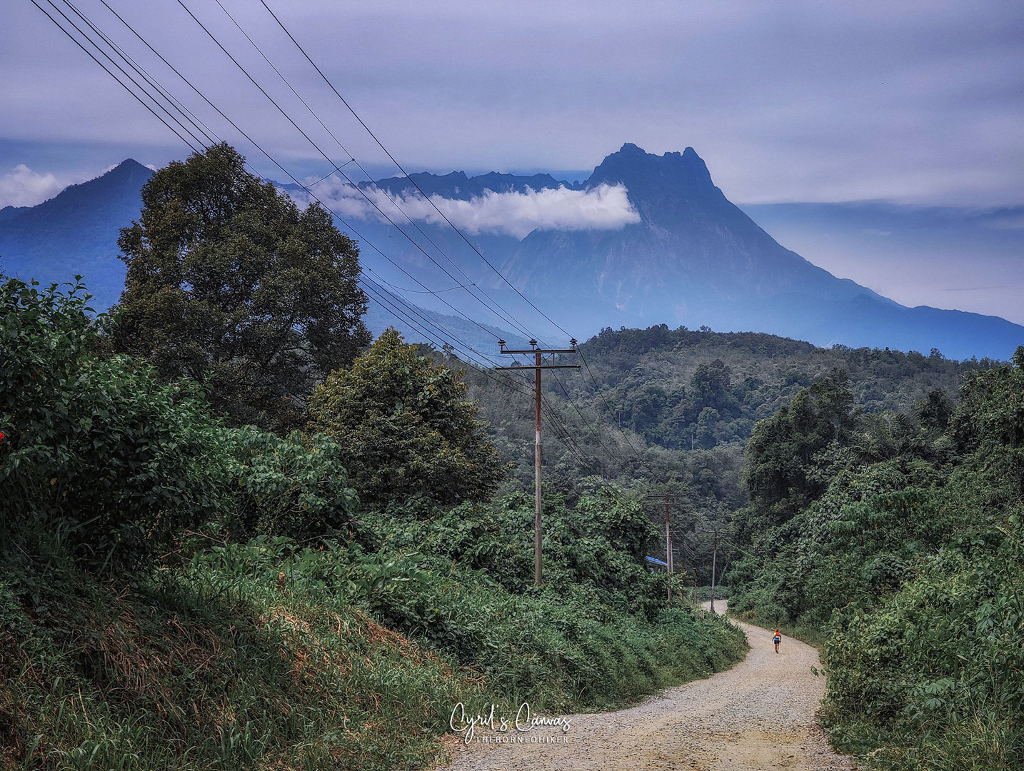
By the time I left WS10, Akinablu revealed herself again, giving me renewed motivation to fight on!
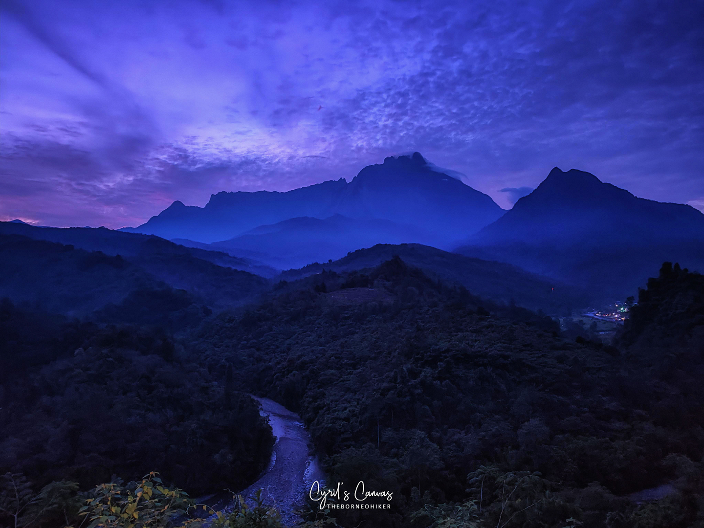
Come to think of it, this is the first time I’ve seen Mount Kinabalu from her western side. Normally, we will see her southern face from Kundasan and her eastern face from Mesilou.

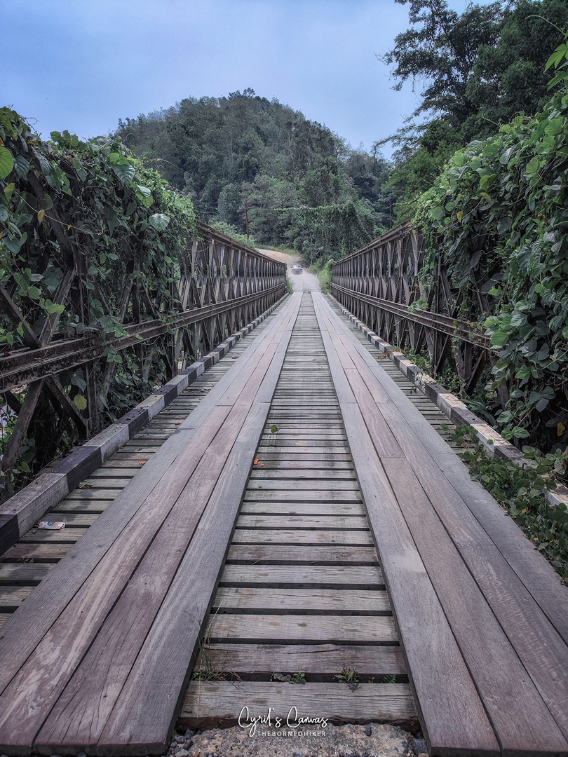
It was not long after that I came to one of the most photogenic sections of the route. Running pass, a bridge that crossed the beautiful pristine river of Melangkap waters that flows all the way from Mount Kinabalu. The breeze from the river current and the fresh air was totally refreshing. The sound of the water flow totally calming. This was a moment to cherish.


After running along the main road, the route cuts into a short trail section that leads to a smaller path. Finally, at KM47, I arrived at WS11, the last water station. This was a mini water station which is totally fine as it’s not that far from WS10 and not very far to the finish line. By then, it was almost time for the sun to retire for the day.

After a quick use of the toilet facility at WS11, it was time to turn on turbo mode. By that time, the sun was about to retire for the night, and night was falling. We were running in the trail again and there was one small stream that we had to cross at KM50. After that, it was full speed ahead all the way down a 5km long stretch of gravel road that would bring me all the way to the finish line!

TO SUM IT ALL UP
All in all, I totally enjoyed this Kadamaian Adventure Race (KAR). In my humble opinion, it totally lives up to its name of ‘Adventure Race’.
SIGHTS & SCENERY
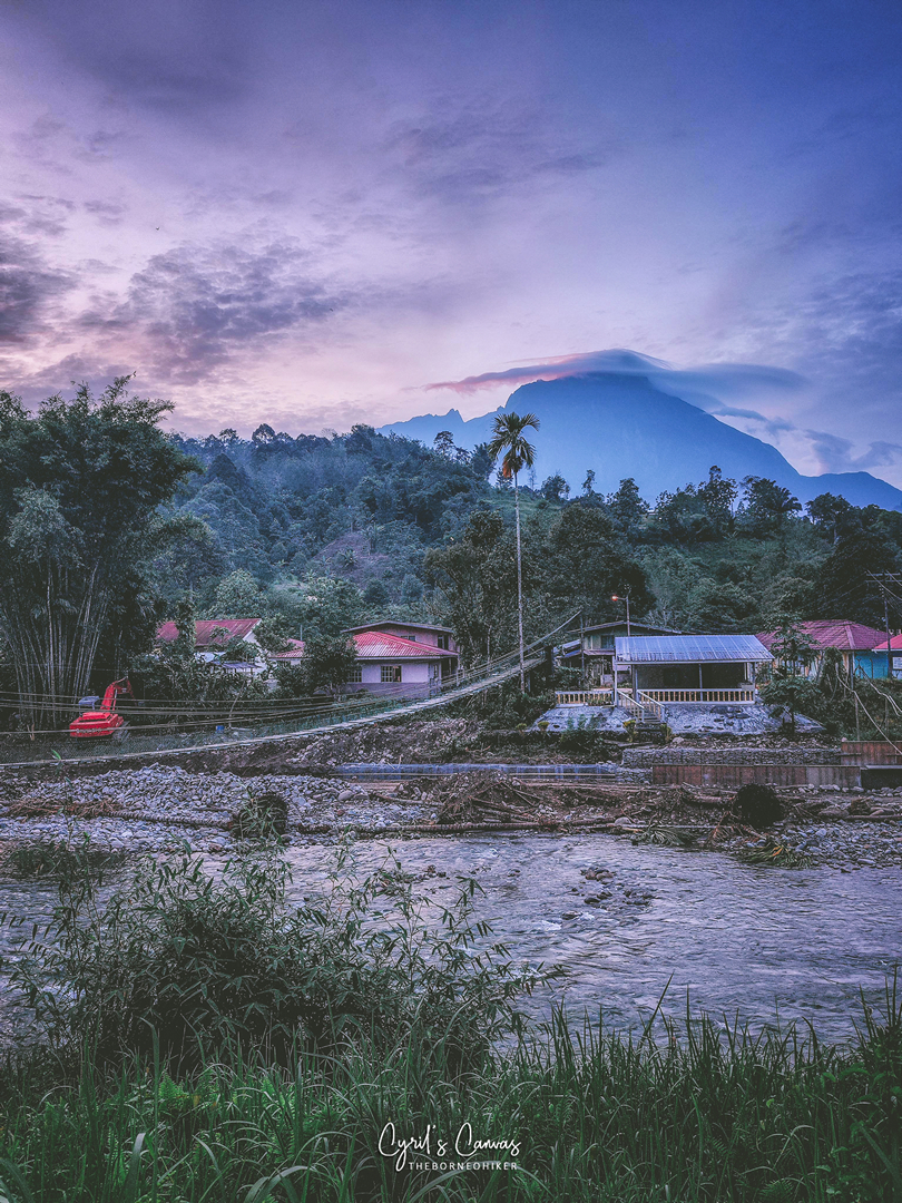
As a runner-photographer, I really appreciate the sights that I went through, especially the many appearances of Mount Kinabalu along the whole route. The villagers whom I have met along the way were all extremely friendly, with nothing less than smiles and hellos. Makes me wonder if every one of them knew about the race that is being held that day. This run has a balance of nature scenery, farm scenery, many different villages, and even the different hills and mountains.
WATER STATIONS
The crew at every water station was friendly and attentive. In fact, all the time I ‘kena paksa’ to eat more!
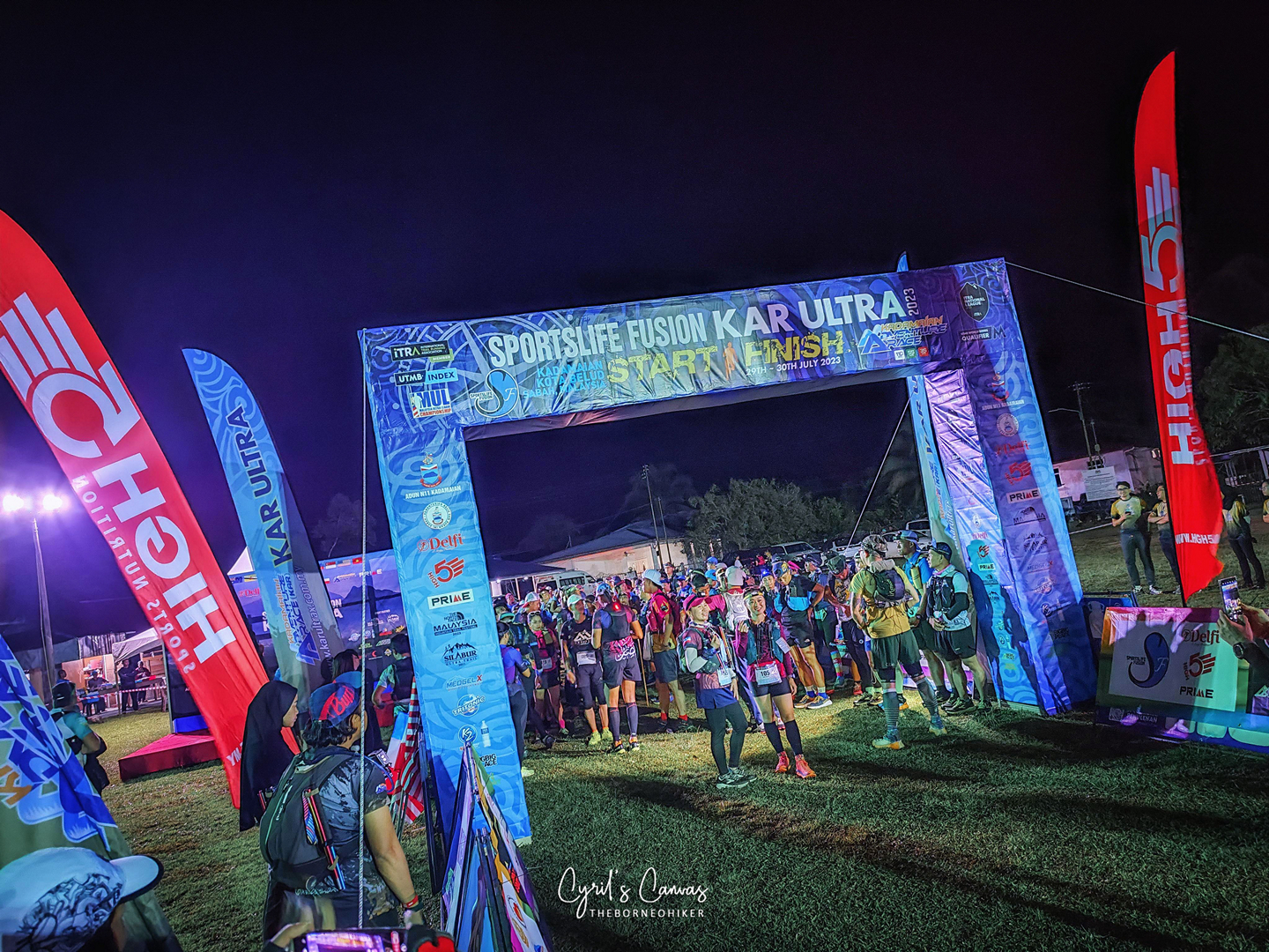
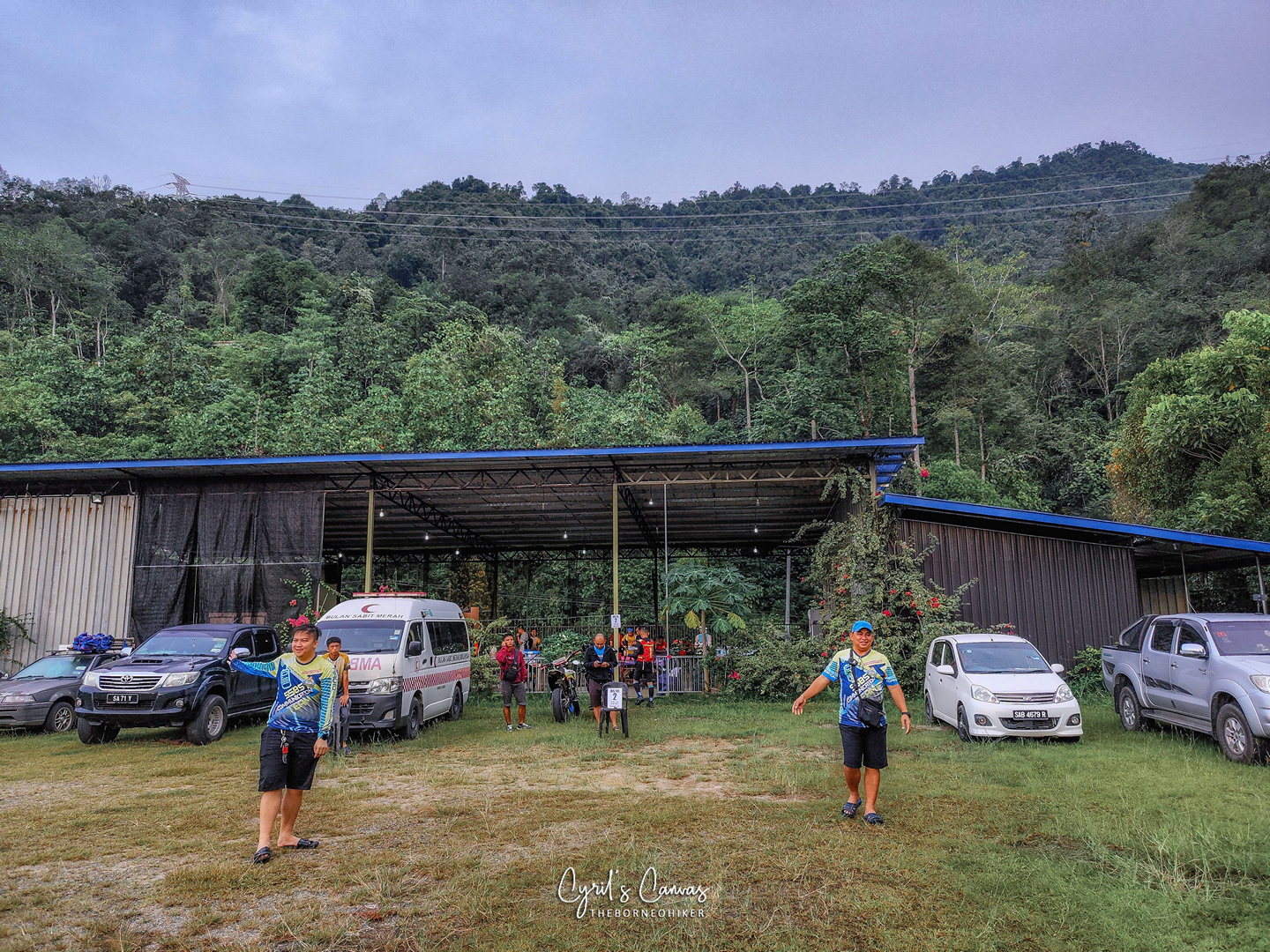
STARTING/FINISHING POINTS
The start/finish point is in Kampung Tambatuon. The layout and organization of the venue was acceptable and organized. Registrations and drop bags were all in the hall. The starting/finishing arch was placed in the middle of the field away from the crowd which was a good thing. It was easy to take pictures with the start/finish arch without photobombs. Apart from the food that is prepared by the organizers, there were also food stalls nearby by the kampung folks selling very tasty and irresistible food and if that wasn’t enough there were also mini marts as well.
EXTRA ADVISE FOR YOU
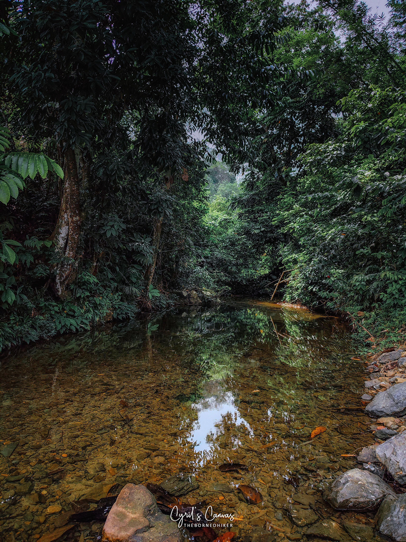
To anyone who plans to/will join this race, I really advice to arrange for a homestay at Kampung Tambatuon. There’s a very very very very nice river located just behind the village, and it is a great place to dip yourself after the run. It is the equivalent to cold therapy which is effective for enhancing muscle recovery as well as pain relief. Besides, who doesn’t like chilling in a clear and refreshing river! Go get your favourite beer or beverage from the mini mart nearby and go chill in the river! You deserve it!
